
Image Courtesy : bakerinstitute.org
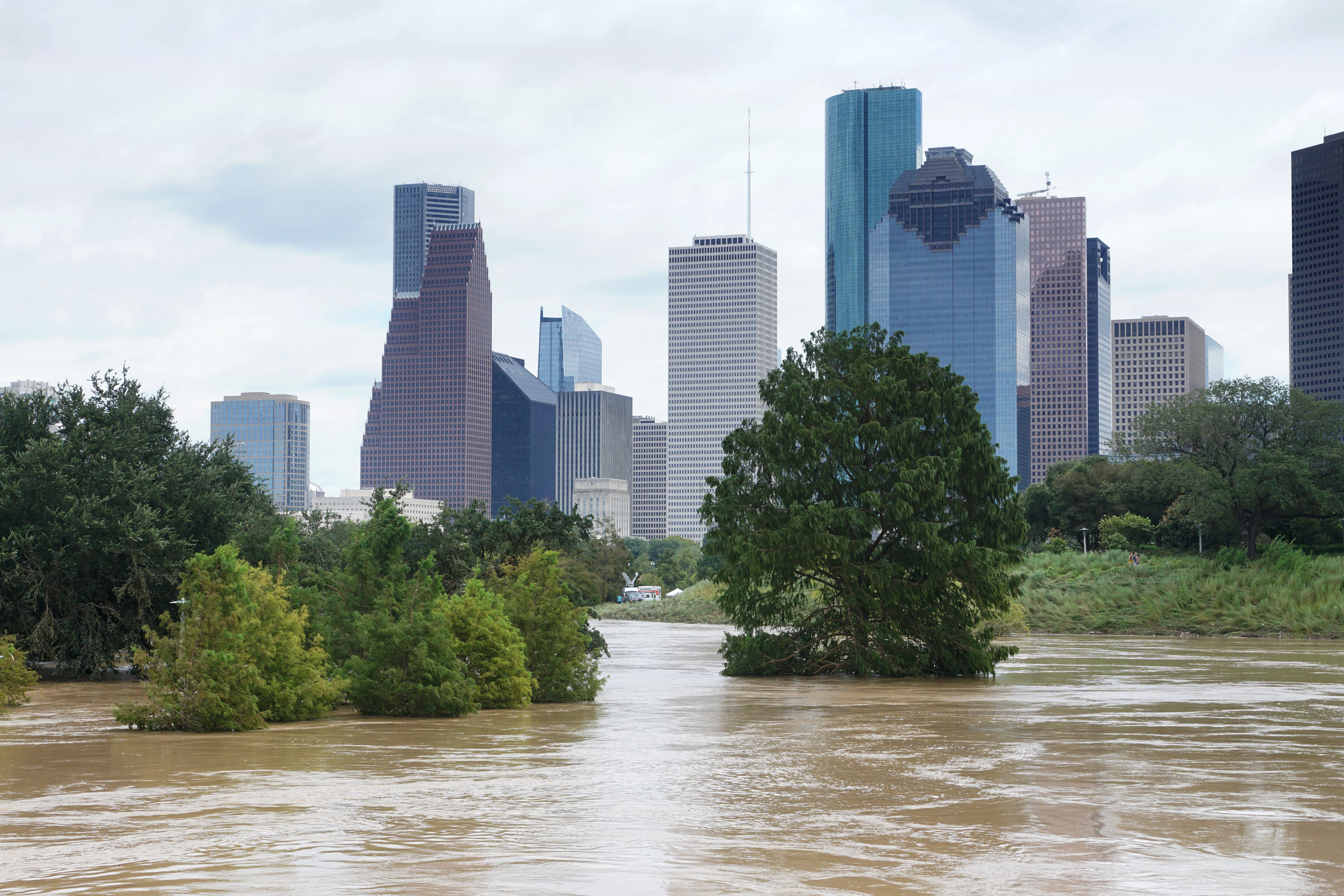
Texans are being urged to stay alert as another round of heavy rain and thunderstorms moves across much of the state, bringing an increased risk of flash flooding through the early part of the week. With saturated ground from recent rainfall in several regions, even moderate downpours could quickly overwhelm roads, creeks, and low-lying neighborhoods.
In response to the developing weather threat, Governor Greg Abbott has activated additional state emergency resources to support local communities that may be impacted by flooding. Emergency management teams, swift-water rescue crews, transportation officials, and public safety personnel have been placed on standby to assist with evacuations, road closures, and rescue operations if conditions worsen.
Forecasters warn that some areas could receive multiple inches of rain in a short period, increasing the potential for dangerous flash floods. Travelers are encouraged to monitor weather forecasts closely, avoid driving through flooded roadways, and postpone unnecessary travel during periods of intense rainfall. The familiar warning, "Turn Around, Don't Drown," remains especially important as floodwaters can rise rapidly and hide damage beneath the surface.
Communities across Central, East, and parts of North Texas are expected to face the greatest flood concerns, though changing storm tracks could expand the risk to additional areas. Residents should have multiple ways to receive weather alerts and be prepared to act quickly if flash flood warnings are issued.
State officials continue to coordinate with local governments and emergency responders while monitoring conditions around the clock. As the storms move through Texas, preparedness and caution will be essential to keeping residents safe until the threat passes.